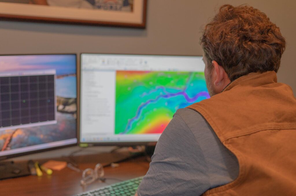
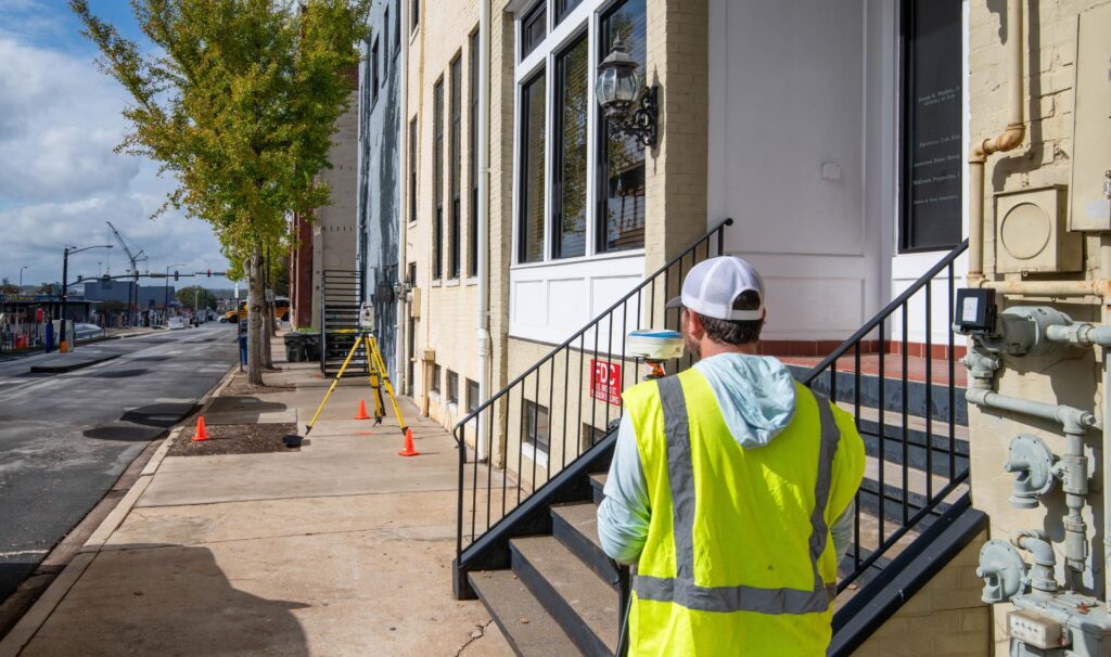
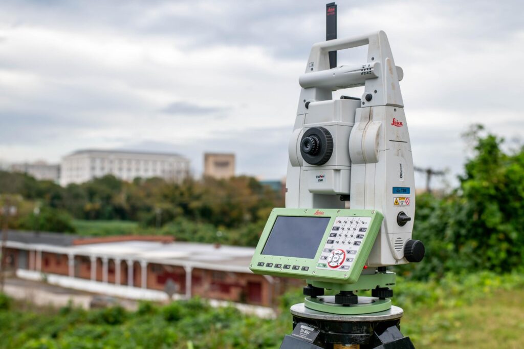
At Gooch & Associates, we combine drone technology with the expertise of our licensed surveyors and drone operators to deliver exceptional results. Whether you need comprehensive topographic data, high-resolution imagery, or reliable inspection footage, our drone services are designed to enhance the quality and effectiveness of your land surveying and development projects.
Subsurface Utility Investigation
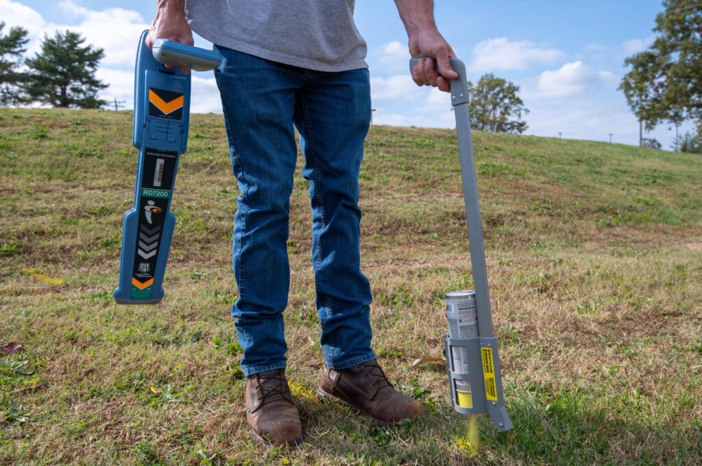
Subsurface utility investigation, also known as utility locating or utility mapping, is the process of…
