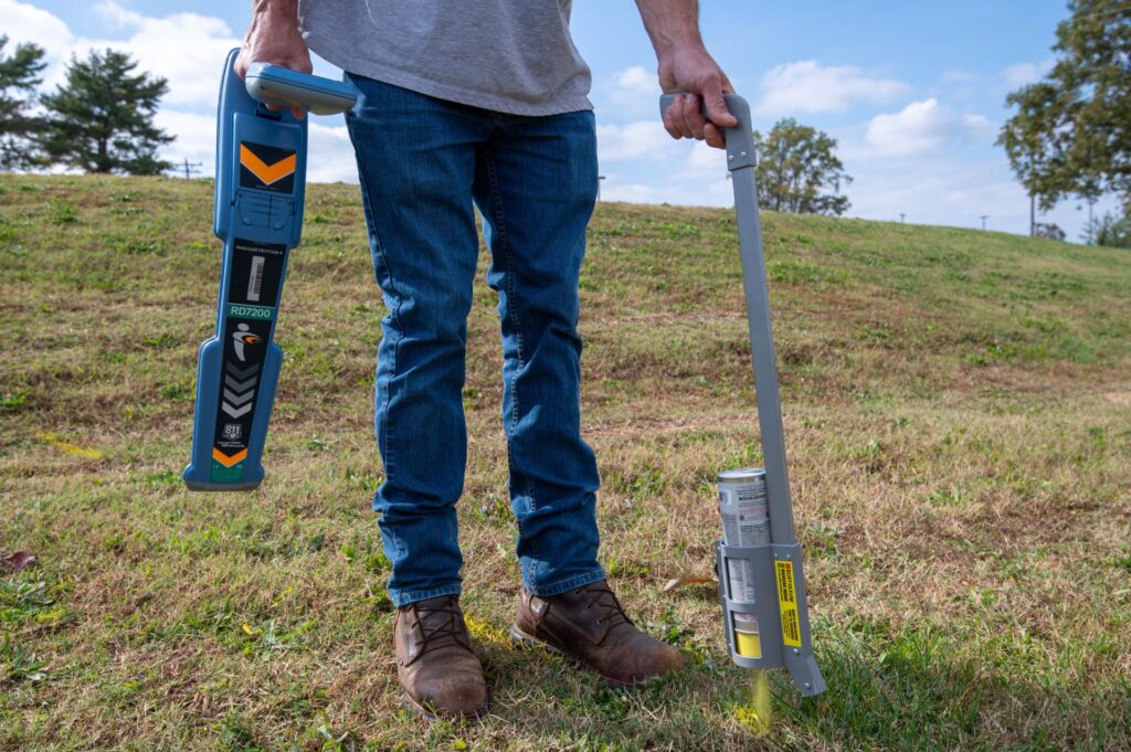
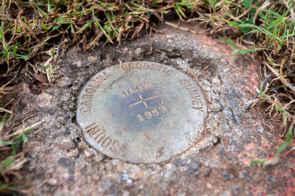
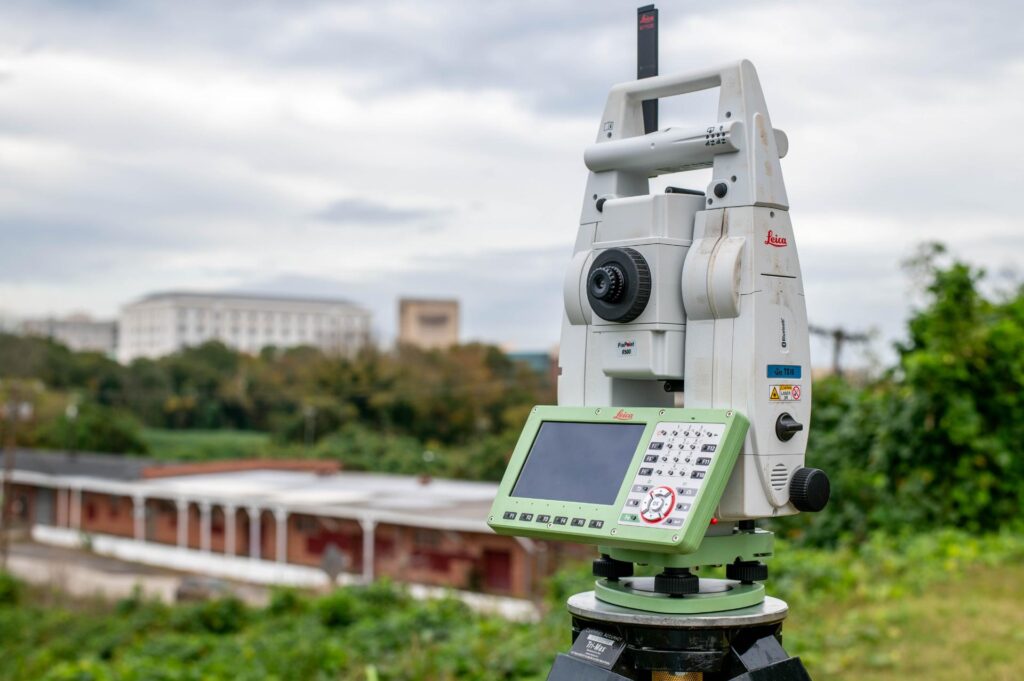
Topographic surveys are specialized land surveys that capture the detailed contours, elevations, and natural and man-made features of a piece of land. These surveys are essential for planning and designing construction projects, as they provide crucial information about the terrain, slopes, and existing features. At Gooch & Associates, we utilize cutting-edge technology to deliver precise, comprehensive topographic surveys tailored to our clients’ needs. By incorporating GPS, total stations, LiDAR, and drone capabilities, we can provide detailed data and visualizations for site planning, design, and environmental assessments.
UAV Services – LiDAR, Imagery, photo & video Inspection
At Gooch & Associates, we combine drone technology with the expertise of our licensed surveyors…
